Imagery

Be the first to understand the value of aviation captured high-resolution RGB orthoimagery (aerial imagery) guided by the experts at Prius Intelli.

Airport Planning and Management with Aerial Imagery

Elevating Airport Planning with High-Resolution Aerial Imagery

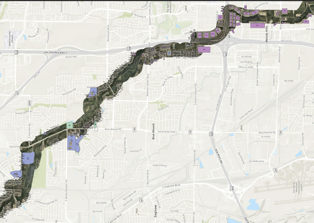
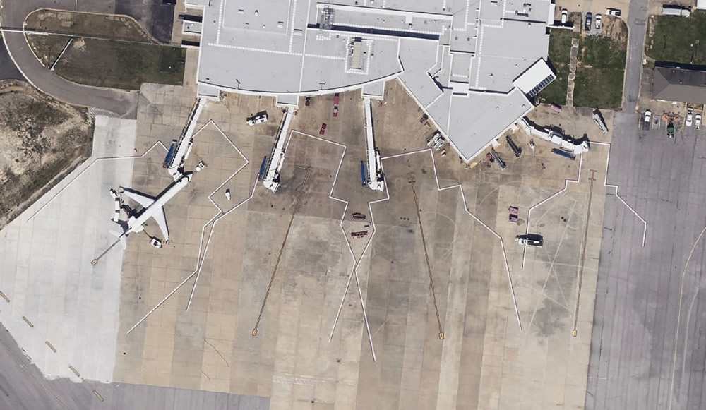
Airports, whether large international hubs or smaller regional facilities, face the common challenge of efficiently managing their complex infrastructure. From monitoring construction projects to planning future developments, having access to accurate and up-to-date imagery is crucial. This is where Prius Intelli’s innovative aerial imagery solutions come into play, offering airports of all sizes a powerful …

Elevating Airport Planning with High-Resolution Aerial Imagery Read More »

Snowmelt Runoff Modeling by Prius Intelli

Snowmelt Runoff Modeling Using LiDAR Snow-Depth Calculations

Snowmelt runoff modeling (SRM) predicts the amount and timing of water that will flow down mountainsides as temperatures rise and snow melts. Understanding snowmelt is a major component to water resource management and holds the key to helping mitigate potential harm to people and property. In this article we explore how LiDAR, a remote sensing technology, can provide certain precise data needed to calculate effective SRMs.